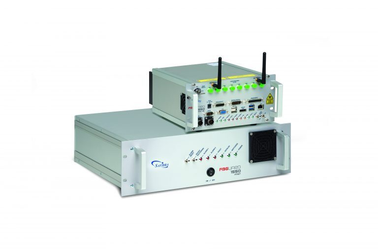
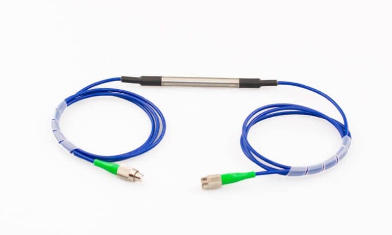
Fiber Bragg Grating (FBG) technology
FBG technology brings many advantages over the conventional sensing methods, such as immunity to EMI/RFI, high precision, durability, quasi distribution, absolute measurement, compact size, reduced cabling requirement, etc.
Early warning of events
The geomonitoring system is equipped with direct alarm relays for immediate notifications via email, SMS, or other communication interfaces, in case of significant and unusual events.
Comparing temperature increases
Continuous monitoring of temperature increase against deformations shows whether or not the deformations are temperature dependent.
Monitoring of rainfall deformations
Our geotechnical system monitors rainfall deformations which can show whether the deformations are affected by the amount of water in the soil and whether it can be expected that cloudbursts or long term rainfall can increase deformations.
Multifunctional measuring platform
Several FBG geotechnical sensors with different functionalities can be connected by a single fiber without signals being confused. The necessary cabling becomes considerably smaller.
Prevention of catastrophic failures
Thanks to the geotechnical monitoring you’ll be able to take appropriate action in advance and thus minimize potential damages and losses.
Measuring over long distances
The distance between the unit and geotechnical sensors can be several tens of kilometers. Therefore, you can cover a large area with one unit and a multitude of sensors.
No calibration or determining of new zero
The wavelength reflected by each FBG is modulated by the measured quantity, for example strain. The geomonitoring system measures this reflected wavelength which is an absolute parameter. Hence you can turn off or replace the geotechnical monitoring instrument without having to recalibrate it or reset the zero level.
Use of existing fiber optic network
Installation of an expensive geotechnical sensor infrastructure or availability of electrical power are not necessary, which is very economical even for a large number of monitored points.
Web interface
You will be able to manage our geotechnical monitoring system via a user friendly web interface, which also provides all necessary information about the structure, reporting, and data analysis features according to your SLA.
Reporting and data analysis
Our geomonitoring system provides all necessary reporting and data analysis features. The available level of service is according to SLA.
Customized solutions and adjustments
The geotechnical monitoring system can be modified in order to meet your project’s needs, such as the desired functionality, interoperability, etc.


